Military Road S

In the late 1850s, the federal government began construction on a road connecting Fort Steilacoom in Pierce County to Fort Bellingham in Whatcom County. By the end of the decade, the military road had been finished (just in time for Fort Bellingham to close). The route it took through Seattle included what are now Beacon Avenue S, 1st Avenue, Dexter Avenue N, Westlake Avenue N, and Fremont Avenue N, among other streets. South of Seattle, much of the road still exists with its original name, but within the city limits, only a bit of Military Road S remains:

  • A 750-foot-long stretch between Beacon Avenue S at 27th Avenue S and Van Asselt Elementary School south of S Myrtle Street
  • A ½-mile-long stretch between S Othello Street just south of the school to the Union Pacific railroad tracks east of Airport Way S, just west of Interstate 5
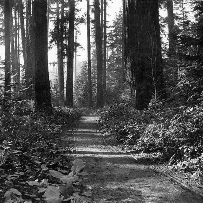
Military Road on Beacon Hill, circa 1900, from https://digitalcollections.lib.washington.edu/digital/collection/imlsmohai/id/9883
Military Road passing through what may be the Comet Lodge Cemetery on Beacon Hill, circa 1900

W Fort Street

Fort Street originated as Fort Place in the 1905 plat of Lawton Park, an Addition to the City of Seattle. It originally formed part of the “government roadway leading from the east boundary of the military reservation of Fort Lawton,” but in 1961 four of its blocks were officially renamed W Government Way. What remains today is a one-block stretch between 36th Avenue W and 35th Avenue W, a three-block stretch between Kiwanis Memorial Reserve Park and 32nd Avenue W, and a bridge over the BNSF Railway tracks from 28th Avenue W and Gilman Avenue W to 27th Avenue W.

W Government Way

In 1897 a number of Magnolia landowners deeded to the federal government land for “a government roadway leading from the east boundary of the military reservation of Fort Lawton,” which was to open in 1900, to a wharf at what is now 27th Avenue W and W Commodore Way. At some point between then and 1907, when it appears in in the plat of Lawton Heights, an Addition to the City of Seattle, filed by Anna S. Brygger (see Brygger Drive W and NW Brygger Place), it became known as Government Way. (There are similarly named streets in Spokane leading to the former Fort George Wright and in Coeur D’Alene, Idaho, leading to the former Fort Sherman.)  

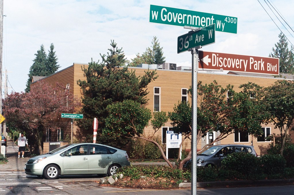
The street was initially known as Government Way only from 32nd Avenue W to the east gate of the fort at 36th Avenue W (now the main entrance to Discovery Park), but in 1961 the name was extended to cover 32nd Avenue W north to W Fort Street as well as W Fort Street east to Gilman Avenue W, so today its length is about ½ a mile in total.

Street sign at the corner of W Government Way, 36th Avenue W, and Discovery Park Boulevard, October 30, 2011. Photograph by Benjamin Lukoff. Copyright © 2011 Benjamin Lukoff. All rights reserved.

W Armory Way

This Interbay street, established in 1910 as Lawton Way, runs ¼ mile northwest from 15th Avenue W to the BNSF Railway’s Balmer Yard. Its right-of-way runs about 800 feet beyond that, across the railroad tracks, to 20th Avenue W, as it was once the location of a bridge to Magnolia.

W Lawton Way was changed to W Armory Way in 1973, presumably in anticipation of the construction in 1974 of an armory for the Washington Army National Guard. Will its name be changed again once the National Guard moves — or if it becomes the location of a new Magnolia Bridge?

(Another Armory Way near Pike Place Market existed on paper for many years — from 1936 to 2019 — but was never built. Something similar is currently under construction.)