
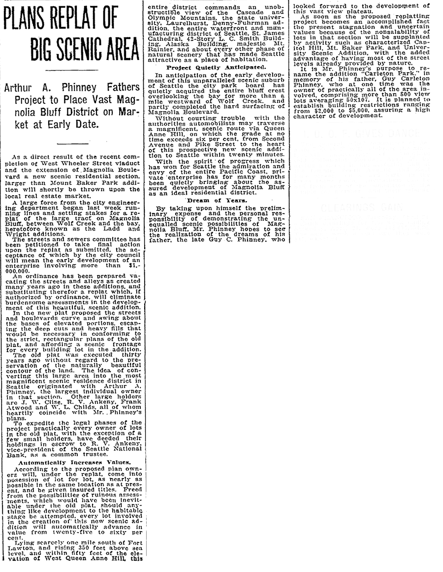
This street was created in 1915 as part of the plat of Carleton Park, a replat of much of southwest Magnolia (basically a triangle formed by W Raye Street, 34th Avenue W, and Magnolia Boulevard W). Arthur A. Phinney (1885–1941) led the project, named after his father, Guy Carleton Phinney (1851–1893) (Phinney Avenue N, Phinney Ridge). As The Seattle Times reported:
The old plat was executed thirty years ago without regard to the preservation of the naturally beautiful contour of the land.… In the new plat the streets and boulevards curve and swing about the bases of elevated portions, escaping the deep cuts and heavy fills that would be necessary in conforming to the strict, rectangular plans of the old plat, and affording a scenic frontage for every building lot in the addition.… This entire district commands an unobstructible view of the Cascade and Olympic Mountains, the state university, Laurelhurst, Denny-Fuhrman addition, the entire waterfront and manufacturing district of Seattle, St. James Cathedral, 42-story L.C. Smith Building, Alaska Building, majestic Mt. Rainier, and about every other phase of natural scenery that has made Seattle attractive as a place of habitation.
Viewmont Way was obviously named after its view of the mountains, and is of a piece with other Carleton Park streets like Montavista Place, Westmont Way, Eastmont Way, Altavista Place, and the like.
Viewmont Way W begins at the intersection of 34th Avenue W, W Lynn Street, and Montvale Place W in Magnolia Village, and goes ¼ mile southwest to Constance Drive W, where it becomes W Viewmont Way W. The name initially continued about the same distance northwestwards, where the street became 41st Avenue W, but this portion and the rest of 41st Avenue as far north as Fort Lawton (now Discovery Park) were apparently changed at some point to W Viewmont Way. In 1961, the streets became Viewmont Way W and W Viewmont Way W.


Born and raised in Seattle, Benjamin Donguk Lukoff had his interest in local history kindled at the age of six, when his father bought him settler granddaughter Sophie Frye Bass’s Pig-Tail Days in Old Seattle at the gift shop of the Museum of History and Industry. He studied English, Russian, and linguistics at the University of Washington, and went on to earn his master’s in English linguistics from University College London. His book of rephotography, Seattle Then and Now, was published in 2010. An updated version came out in 2015.