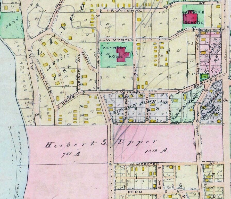
This West Seattle street was created as part of the plat of Woodside, an Addition to the City of Seattle, filed on June 17, 1919, by Eugene E. Harold, and named for the subdivision. I don’t think it’s too much of a stretch to assume the subdivision was so named because of its proximity to the wooded area that is now Lincoln Park.
Woodside Place SW begins at SW Myrtle Street just south of Gatewood Elementary School and goes just over 600 feet south to SW Othello Street.

Born and raised in Seattle, Benjamin Donguk Lukoff had his interest in local history kindled at the age of six, when his father bought him settler granddaughter Sophie Frye Bass’s Pig-Tail Days in Old Seattle at the gift shop of the Museum of History and Industry. He studied English, Russian, and linguistics at the University of Washington, and went on to earn his master’s in English linguistics from University College London. His book of rephotography, Seattle Then and Now, was published in 2010. An updated version came out in 2015.